| Prijs | € 199,00 |
Uitverkocht
Hardback | Februari 2012 |
Beoordeel dit boek als eerste!Beschrijving
Specificaties
- Auteur
- George Tolias
- Uitgever
- Hes & De Graaf Publishers
- ISBN
- 9789061945413
- Bindwijze
- Hardback
- Publicatiedatum
- Februari 2012
- Categorie
- Wetenschappelijk
- Taal
- Engelstalig
- Aantal Pagina's
- 544
Beschrijving
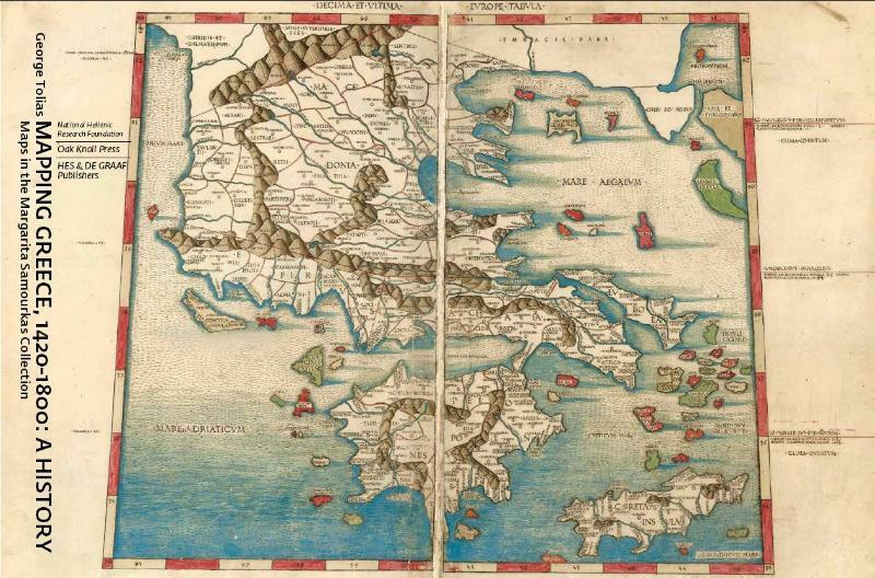
"Mapping Greece" is a richly illustrated history of the cartography of Greece during the Renaissance and the Enlightenment, based on the Margarita Samourka Map Collection (one of the most important collections of its kind in private hands in Greece) that consists of 1,700 maps of Greece. Divided into five chapters, the book contains an introduction, conclusions, and an appendix.
Summarizing the foundations of the mapping of Greece as established by the classical and medieval cartographic tradition with the Ptolemaic revival, the maritime portolan chart, the mappa mundi, and the local cartography of early humanism, this book shows the rise and development of the regional concept of Greece and its establishment of cartographic conventions. Various chapters discuss the standardization of the regional maps of Greece in "the age of the atlas," an era of commercialization of the printed map, and the wide dissemination of these maps. Four prefaces written by George Tolias, Paschallis M. Kitromildes, Christos G. Zacharakis, and Margarita Samourkas discuss each one's thoughts on this ambitious and comprehensive project.
Also discussed is the application of modern surveying technology to the mapping of Greece, the work of astronomers and mariners, topographical commentaries, and the production of maps of ancient geography and historical maps of Greece from the end of the sixteenth century onwards. Richly illustrated in a large format, with an overwhelming number of beautiful maps illustrations, Mapping Greece contains a detailed catalogue of the maps in the Margarita Samourka collection compiled by Leonora Navari. The Margarita Samourka collection includes maps of all parts of Greece and of historical Greek regions. It is significant for its breadth and its chronological development beginning with Italian map engravers and publishers of the sixteenth century to the French reformation of cartography in the seventeenth and eighteenth centuries.
Finally, the book provides an overall summary of the series of definitions and perceptions of Greece which emerge in the maps of the region during the centuries of foreign domination, and an assessment of the contribution of maps of Greece to the general history of cartography.
Schrijf een recensie
Specificaties
- Auteur
- George Tolias
- Uitgever
- Hes & De Graaf Publishers
- ISBN
- 9789061945413
- Bindwijze
- Hardback
- Publicatiedatum
- Februari 2012
- Categorie
- Wetenschappelijk
- Taal
- Engelstalig
- Aantal Pagina's
- 544


